 |
Crooked Creek Pistol League
Area 5 / Ohio North Section
|
 |
|
|
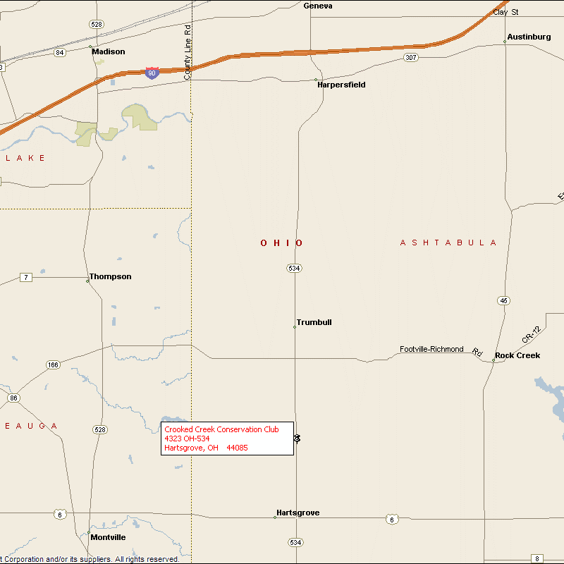
This is a map of the area around our range,
Crooked Creek Conservation Club, south of Geneva, Ohio.
Crooked Creek Conservation Club, 4323 State Route 534, Hartsgrove, Ohio
44085-9540.
Located approximately 10 miles south of I-90 (Geneva-Exit 218) on the west side of
State Route 534.
Or approximately 2 miles north of US Route 6 and the Hartsgrove Circle.
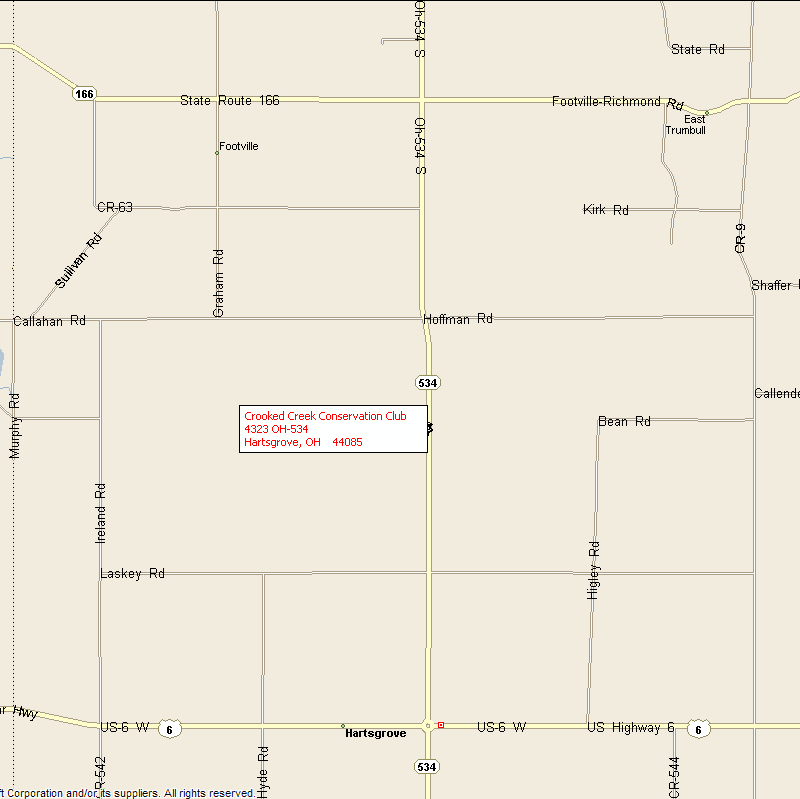
Here is a closer view of Crooked Creek Conservation Club.
2 miles south of State Route 166 on the west side of State Route 534.
Or approximately 2 miles north of US Route 6 and the Hartsgrove Circle.
For those of you with a GPS receiver, go to N41 37.884 W80 57.703 or check Google.
To give credit where credit is due these maps were generated by Microsoft
Streets & Trips 2007.
Copyright � 1988-2001 Microsoft Corp. and/or its suppliers. All rights
reserved. http://www.microsoft.com/mappoint � Copyright 2000 by Geographic Data
Technology, Inc. All rights reserved. � 2000 Navigation Technologies. All
rights reserved. This data includes information taken with permission from
Canadian authorities � Her Majesty the Queen in Right of Canada � Copyright
2000 by Compusearch Micromarketing Data and Systems Ltd.
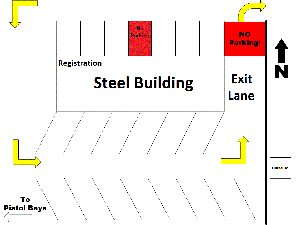
Park in the areas marked in blue below. The
solid blue box is the main parking area.
The blue outlines are overflow.
Please DO NOT park in the areas marked in red!
Leave these spaces open for club members to access the other open ranges.
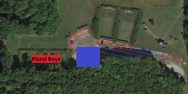
Details of solid blue area above.
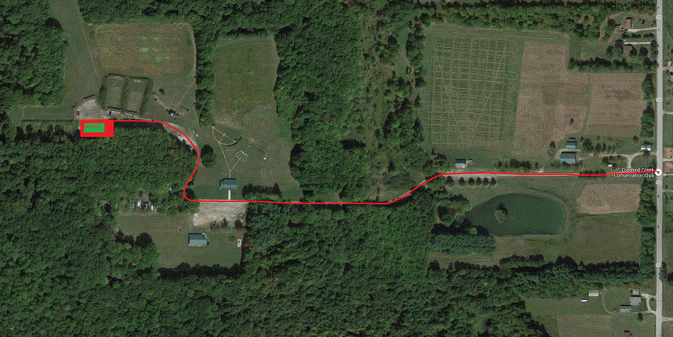
Maps from Google maps
Go to
Google Maps to get directions to our club and to look around the area.
